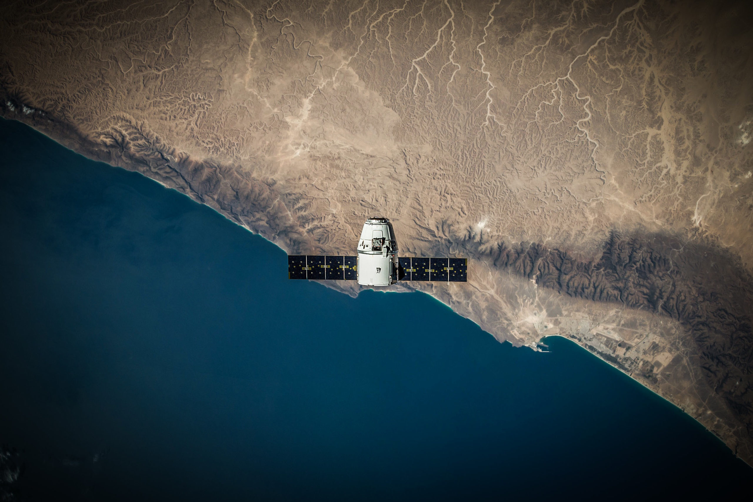
Remote sensing / Earth observations

Most Earth observation (EO) applications require the precise orbit determination (POD) of the observing satellite(s) which typically involve transmitting and post-processing the GNSS receiver’s raw observables taken onboard the satellite(s) in a ground station, introducing important latencies and transmissions/processing costs.
In contrast, NAVILEO spaceborne receiver can provide in real-time (no latency) and directly onboard the satellite (no ground infrastructure costs) the time synchronization and precise orbit determination with an accuracy < 10 cm (3D rms).

Moreover, NAVILEO technology can also be used to extend the observation baseline using more than one satellite to further improve the performance of synthetic aperture radar (SAR) as well as other EO applications.

Example of Remote sensing / Earth observation applications:
-
Asset monitoring (mines, bridges, etc.)
-
Climate change and environment monitoring (glacier movement & ice melting)
-
Mobility (air/sea/groundtraffic monitoring)
-
Sustainable development and urban planning
-
Disaster monitoring (fires, floods, earthquakes, tsunami)
